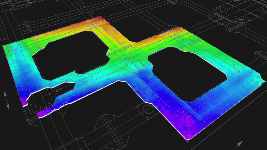
Use your data for better insight
Point clouds are an immensely rich source of data that can be utilised in a variety of ways providing both insight and validation for engineering projects, both at the surface and subsea. With software such as Autodesk ReCap and 3ds Max, point clouds can be explored and used during the engineering design workflow to supplement the overall project delivery. Further to that, point clouds can be combined with other CAD data sources to develop a fully three-dimensional resource revealing information not previously visible.
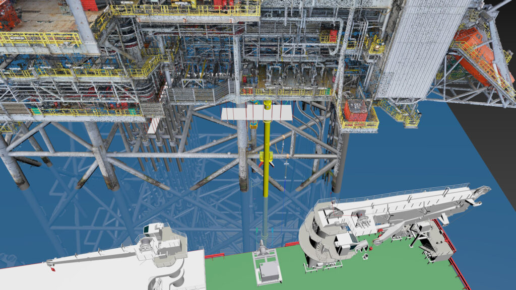
Subsea survey and CAD assessments
Being able to bring together digital assets such as 3D models, CAD drawings and survey material means it is possible to check the overall alignments and correlation between the various references. This gives your project greater assurance in its development and offers new ways of checking dimensions and informing the design process for key items.
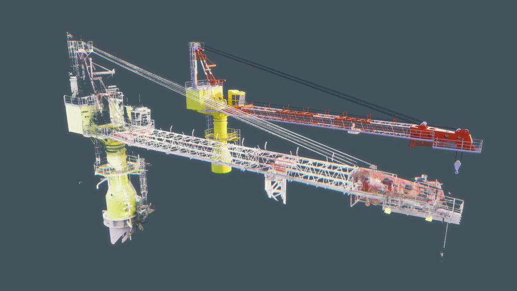
Data extraction
Beyond simply viewing and measuring survey material, further information can be extracted from point clouds in combination with 3D software to help reveal profiles, centrelines, offsets and clearances.
The information developed can then be exported for further analysis in the form of spreadsheets, splines and meshes to supplement engineering reports and to ensure maximum value is derived from the source.
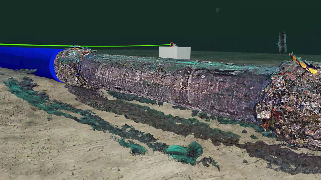
Photogrammetry utilisation
Photogrammetry is an emerging technology and, in some cases, a highly accessible one where the end user can produce LiDAR based surveys using nothing more than the smartphone in their pocket. In the industry, and using higher-end technology, surveys can be conducted both from the air via drones and subsea via ROVs with photogrammetry becoming a key technique throughout the project life cycle.
In all cases, your photogrammetry-based surveys can be utilised, imported and worked with using 3ds Max for visualisation, animation and checking activities.